Which Part of Bangalore is Hoskote

Featured Image of Which Part of Bangalore is Hoskote


Hoskote is on the eastern edge of the Bengaluru region, roughly 25 to 30 km from the city centre, where the highways towards Chennai and Hyderabad meet. It is a taluk and town in Bengaluru North district rather than a neighbourhood inside the city, which is the distinction most buyers are really asking about.
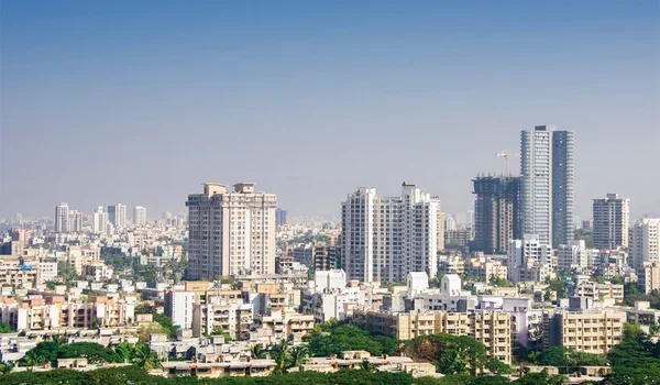

East, Not Inside the City


The town lies at 13°04′N 77°48′E, about 891 metres above sea level, with its own town administration rather than BBMP ward governance. That changes practical things such as property tax, khata and civic services, so it is worth establishing early when you compare an address here with one in the city.

The nearest familiar reference points are eastern. Whitefield is roughly 28 km away and remains the closest large white-collar employment hub to the town.

What "Hoskote" Actually Covers


The name describes a wide area, not a single locality. The taluk divides into five hoblis, Kasaba, Anugondanahalli, Jadigenahalli, Nandagudi and Sulibele, which take in 294 villages between them.

Two addresses described as Hoskote can therefore be twenty kilometres and a very different market apart. Before shortlisting anything, establish the hobli and the village, because that is what determines guidance value, access and the quality of local roads.


Administrative Position


Detail Hoskote
Direction from Bengaluru East
District Bengaluru North
Status Taluk and town, outside the city corporation
Hoblis Five, covering 294 villages
Postal code 562114
Vehicle registration KA-53
Elevation 891 metres

Which Corridor It Belongs To


Hoskote belongs to the eastern industrial belt rather than to the IT suburbs or the airport corridor. Its economy runs on a KIADB industrial area with automobile plants, logistics parks and manufacturing, which gives the town a working rhythm set by shifts and freight movement.

It also anchors the eastern end of the Satellite Town Ring Road, the orbital route that continues north past Devanahalli and the airport. That road is the reason Hoskote and the northern corridor get compared at all, since they sit on opposite arcs of the same ring.

Distances to Know


  • Bengaluru city centre: roughly 25 to 30 km west along the Old Madras Road corridor.
  • Whitefield: about 28 km, the nearest major office market.
  • Kempegowda International Airport: about 35 to 40 km north.
  • Devanahalli: connected by the Satellite Town Ring Road, with BMTC route 298-P running between the two.

Every one of these figures stretches at peak hours, because the junctions where local roads meet the highways are where queues form. Drive the route at the time you would actually travel before you treat a map estimate as reliable.

How It Compares With the Northern Corridor


Point Hoskote Devanahalli, KIADB Phase 2
Side of the region East North
Main employment Automobiles, logistics, manufacturing Aerospace, defence, electronics
Airport distance About 35 to 40 km About 20 km
Position on the STRR Eastern end 2 km away
Typical buyer Working on the eastern industrial belt Working on the airport corridor

Who the Location Suits


Hoskote works best for people whose jobs sit on the eastern industrial belt, where living nearby removes a long daily drive, and for buyers seeking the lowest entry price within reach of the city. It remains semi-urban, with schools, hospitals and shops arriving alongside the housing rather than ahead of it.

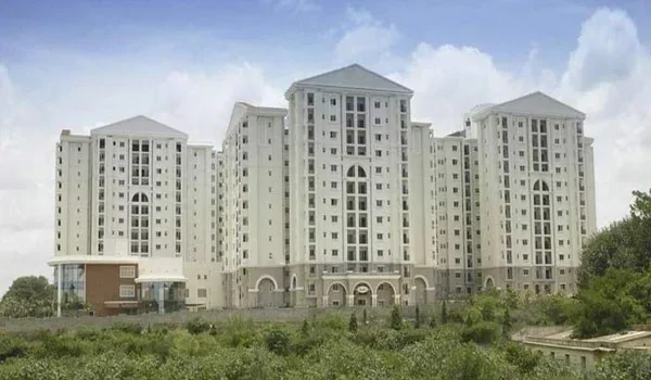
If your work or travel is tied to the airport instead, the northern corridor answers the same question from the opposite side of the ring. Prestige Parklane, in KIADB Hi-Tech, Defence and Aerospace Park Phase 2 at Devanahalli, sits about 20 kms from the airport & 2 kms from the Satellite Town Ring Road.

FAQs


1. Which part of Bangalore is Hoskote in?

The eastern side of the Bengaluru region, roughly 25 to 30 kms from the city centre, in Bengaluru North district.

2. Is Hoskote inside Bangalore city limits?

No. It is a separate taluk and town with its own administration, not a BBMP ward, which affects property tax and civic services.

3. How far is Hoskote from Whitefield?

About 28 km, which makes Whitefield the nearest large white-collar employment hub for residents.

4. How far is Hoskote from the airport?

Roughly 35 to 40 km north to Kempegowda International Airport, with traffic at the highway junctions stretching the journey.

5. Does Hoskote cover more than the town?

Yes. The taluk has five hoblis covering 294 villages, so two Hoskote addresses can be a long way apart.

6. How is Hoskote connected to Devanahalli?

Through the Satellite Town Ring Road, which runs between the eastern and northern corridors, and by BMTC route 298-P.

Prestige Parklane Blog


Enquiry
Enquire Now