Prestige Parklane Direction and Distance

Featured Image of Prestige Parklane Direction and Distance


Prestige Parklane direction and distance are simple to describe: the project lies north-east of Bengaluru at Plot No. 24, KIADB Hi-Tech, Defence and Aerospace Park Phase 2, Devanahalli 562110. The Satellite Town Ring Road passes 2 km away, the airport is 20 km north, and Majestic in the city centre is 45 km south, which is about an hour and twenty-five minutes by road.

Where Prestige Parklane Sits


The project stands inside Phase 2 of the KIADB aerospace park, with Haraluru and Muddenahalli as the immediate localities and KIADB Phase 1 lying to the west. Devanahalli town is 8.7 km away, and the airport sits beyond it to the north-west.

For mapping, the coordinates are 13.212962 N and 77.767110 E, which you can paste directly into any map app. Searching for "KIADB Aerospace Park Phase 2, Devanahalli" and then Plot No. 24 works just as well.

Distances From Prestige Parklane


Destination Distance Drive time
Satellite Town Ring Road (NH 648) 2 km 2 minutes
Devanahalli town 8.7 km 13 minutes
Kempegowda International Airport 20 km 25 to 30 minutes
Yelahanka 29.4 km 25 minutes
Rajanukunte railway station 29.6 km 49 minutes
Doddaballapura railway station 29.9 km —
Bengaluru city centre (Majestic) 45 km 1 hour 25 minutes

Directions From the City


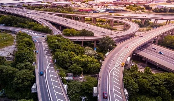
Coming from central Bengaluru, take NH-44 north past Hebbal and Yelahanka towards the airport, then join the Satellite Town Ring Road heading east towards Hoskote. The project lies about 2 km from the ring road, inside the aerospace park.

From Devanahalli town the run is shorter, at 8.7 km and roughly 13 minutes. From the airport, allow 20 km and 25 to 30 minutes, with the last stretch on the KIADB roads.

Directions From the Eastern Side


Arriving from Hoskote or Whitefield, the Satellite Town Ring Road is the natural route, since it runs east to west across the northern belt and passes within 2 km of the project. That avoids the city entirely, which is the point of an orbital road.

ITPB in Whitefield is 39.4 km away and Manyata Tech Park 40.5 km, both roughly an hour by road, so this is a corridor for people whose work is in the north rather than the east.

The Roads That Serve the Project


  • Satellite Town Ring Road (NH 648): 2 km away, linking Hoskote in the east to Doddaballapur and Dobbaspet in the west.
  • NH-44, Bellary Road: the main north-south artery towards the airport, Hebbal and the city.
  • IVC Road: the local route serving villages and layouts across the Devanahalli belt.
  • Peripheral Ring Road: planned, and expected to add another orbital route around Bengaluru.

KIADB has already built the approach and arterial roads to the plot, complete with a concrete carriageway, street lighting and a planted median.

Public Transport to the Project


BMTC route 298-P runs between Devanahalli and Hoskote, with stops at Channahalli 1.6 km away and Haraluru Gate 2.3 km away. Doddajala station on the Namma Metro Blue Line Phase 2B is under construction, and the airport section of that line is targeted for March 2028.

What Is Around the Project


  • Workplaces: the KIADB Aerospace and Defence Park in the same zone, with Amada India at 12.2 km and Thyssenkrupp Aerospace at 12.8 km.
  • Schools: BIAL Airport School at 6.7 km and The School For Global Minds at 7.4 km.
  • Hospitals: Ramaiah Hospital at 7.2 km and Akash Super Speciality Hospital at 10.7 km.
  • Higher education: Chanakya University in the same KIADB zone at Haraluru.
  • Leisure: Devanahalli Fort at about 9 km, Bettakote Lake at about 13 km and Nandi Hills at about 35 km.

FAQs


1. What is the exact address of Prestige Parklane?

Plot No. 24, KIADB Hi-Tech, Defence and Aerospace Park Phase 2, STRR, Devanahalli, Bengaluru Rural, Karnataka 562110.

2. In which direction from Bangalore is Prestige Parklane?

North-east of the city, beyond Yelahanka and Devanahalli town, inside the KIADB aerospace park on the airport corridor.

3. What are the map coordinates for Prestige Parklane?

13.212962 N and 77.767110 E, which can be entered directly into any map application.

4. How do I drive to Prestige Parklane from the city?

Take NH-44 north towards the airport, then the Satellite Town Ring Road east towards Hoskote, and the project is about 2 km from the ring road.

5. How far is Prestige Parklane from the nearest railway station?

Rajanukunte railway station is 29.6 km away, about 49 minutes, while Doddaballapura station is 29.9 km away.

6. Is Prestige Parklane far from the city centre?

Majestic is 45 km away, roughly 1 hour and 25 minutes, so the location suits people working along the northern corridor.

Enquiry
Enquire Now