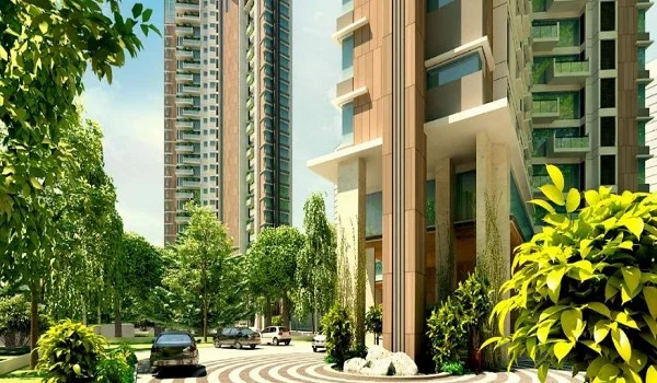
Devanahalli Locality Guide

Featured Image of Devanahalli Locality Guide


Devanahalli is a taluk headquarters town on NH-44 in North Bangalore, close to Kempegowda International Airport. The old town is still compact and traditional, but the belt around it is filling up with aerospace plants, business parks and branded townships. This guide covers how the area is run, what daily life is like and who it suits.
Administration and Planning


Devanahalli town is run by its Town Municipal Council, in a district renamed Bengaluru North from Bangalore Rural on 2 July 2025. Planning around the airport falls to BIAAPA, the airport area planning authority, while KIADB controls the industrial zones.

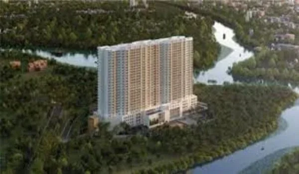
Addresses inside the KIADB park follow the board's own approvals rather than the town's. Prestige Parklane's building plan, for example, was approved by KIADB in August 2026, and the project carries Karnataka RERA registration PRM/KA/RERA/1251/309/PR/150926/008941.
Utilities and Services


The town has established power and water networks, but the growth belt around it is newer. Outside the gated projects, water still leans on borewells, and mains sewerage is limited, which is normal for a corridor at this stage.

Large townships close that gap internally with their own treatment plants, backup power and water systems. Check what a specific project provides, because the difference between inside and outside the gates is bigger here than in the city.

Getting Around


  • NH-44: the main highway through the town, south to Hebbal and the city, north towards Chikkaballapur and Hyderabad.
  • The STRR: NH 648 rings the outer belt, linking Hoskote to the east and Doddaballapur to the west, 2 km from Prestige Parklane.
  • The airport: 20 km from the KIADB Phase 2 side, about 25 to 30 minutes by road.
  • Metro: Doddajala station on the Blue Line is under construction, with the airport section targeted for March 2028.
  • Buses and rail: BMTC route 298-P serves the belt, with stops at Channahalli and Haraluru Gate, and Devanahalli has its own railway station.

Schools and Colleges


The school map is young but improving. BIAL Airport School is 6.7 km from the KIADB Phase 2 belt, The School For Global Minds 7.4 km, and Akash International and Kingdom International schools around 10.5 km.

Higher education is closer than many expect. Chanakya University operates in the same KIADB zone at Haraluru, and the Akash Institute of Engineering and Technology is 10.4 km away.

Healthcare


Ramaiah Hospital at 7.2 km is the nearest sizeable centre, with Ramaiah Leena and Shri Shirdi Sai hospitals around 9.4 km and Akash Super Speciality at 10.7 km. The Manipal Airport Medical Centre at 19.5 km adds an option on the airport side, and Aster CMI at Hebbal covers advanced care at 38.2 km.

Shopping and Eating Out


Devanahalli town, 8.7 km from the project belt, handles markets, groceries and everyday needs. The airport belt holds most of the corridor's hotels and restaurants, with airport retail about 19.2 km away and The Quad at 19.7 km.

A proper mall day still means a drive south: Bhartiya City and Orion at 29 to 30 km, or Phoenix Mall of Asia at 34 km. Retail inside the big townships is expected to shorten those trips over time.

Who the Locality Suits


It suits people who work on the corridor: at the airport, the aerospace park, the business parks and the plants around them. It also suits buyers taking a long view on a belt whose infrastructure is funded and visibly under construction.

It suits a daily south-Bengaluru commuter far less, with Majestic 45 km away and the IT belts about an hour's drive. As everywhere on this corridor, what a township offers inside its own gates carries extra weight while the area around it matures.

FAQs


1. Which body governs Devanahalli?

The Town Municipal Council runs the town, BIAAPA plans the airport area, and KIADB controls the industrial zones, all in the Bengaluru North district.

2. Is water and sewerage reliable?

The town is served, but the growth belt still leans on borewells outside gated projects, which typically run their own water and sewage systems.

3. How do residents commute?

By road on NH-44 and the STRR, with BMTC buses on the belt, a railway station in town and the metro's Doddajala station under construction.

4. What schools are available?

BIAL Airport School at 6.7 km, The School For Global Minds at 7.4 km and Akash International around 10.5 km, with Chanakya University in the KIADB zone itself.

5. Where is the nearest good hospital?

Ramaiah Hospital at 7.2 km is closest, with Akash Super Speciality at 10.7 km and Aster CMI at Hebbal for advanced treatment.

6. Is Devanahalli a good place to live today?

Yes for corridor workers and long-view buyers. Families wanting dense schools, malls and hospitals at the doorstep should weigh township amenities carefully.

Prestige Parklane Blog


Enquiry
Enquire Now